Monday, September 25, 2006
Friends Of The Glen (FOTG)
 History
The history of The Glen from the mid-19th century has been covered by R Downer (2001) in Woodland Vale: our shrinking valley. Essentially the area was mixed Wealden farmland and woodland until the arrival of the railway, following which rapid expansion of St Leonards took place.
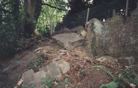
Downer remarks that the development of St Leonards "made a comprehensive drainage system a necessity. Springs and streams had to be culverted and one of the main drainage channels lies deep below the floor of Woodland Vale. The occasional appearance of a shallow pool towards the lower end of the valley could be attributed to overflow outlets from this. The drainage water was released into the sea through an out-flow situated approximately at the bottom of London Road and referred to as Warrior Gate Waters". Downer further comments that attempts to build inside The Glen "have so far been thwarted by the existance of a drainage channel below".
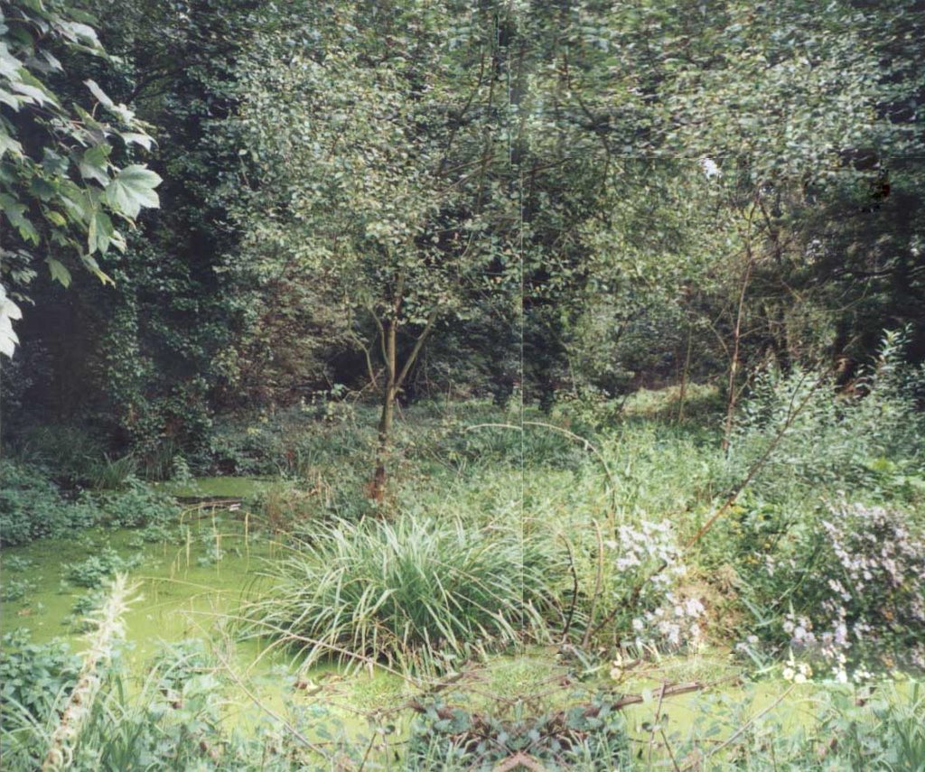 Again it is clear from old maps that a stream ran the full length of Woodland Vale and its dry bed could still be seen at the northern end of The Glen. Although this was put underground, the springs at the base of the sandstone continued to supply pure water which could not drain through the underlying Wadhurst Clay and this created the wetland in the centre of the site. This unusual combination of circumstances allowed a number of plants and insects to continue to flourish in the spring-fed area which might well have disappeared, due to the pollutants it would have brought with it, if the Woodland Vale stream had continued to flow above ground.
In housing development in the 1930s the area around The Glen became more or less fully developed and there had been little further building since then. From that time The Glen had continued to be visited as a quiet, green recreation area by local residents, although this had delcined as many would-be users no longer felt safe there.
Click to enlarge
# posted by SARA @ 4:49 PM 
![]()